- Mobile Mapping
Home » Mobile Mapping
DrivenBy Mobile Mapping
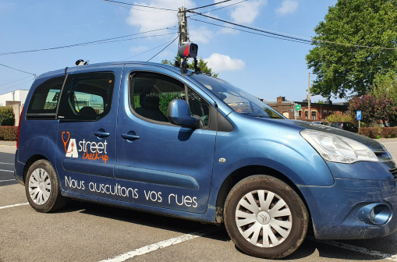
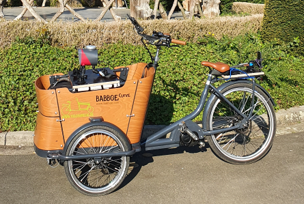
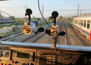
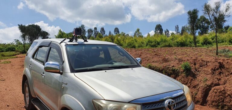
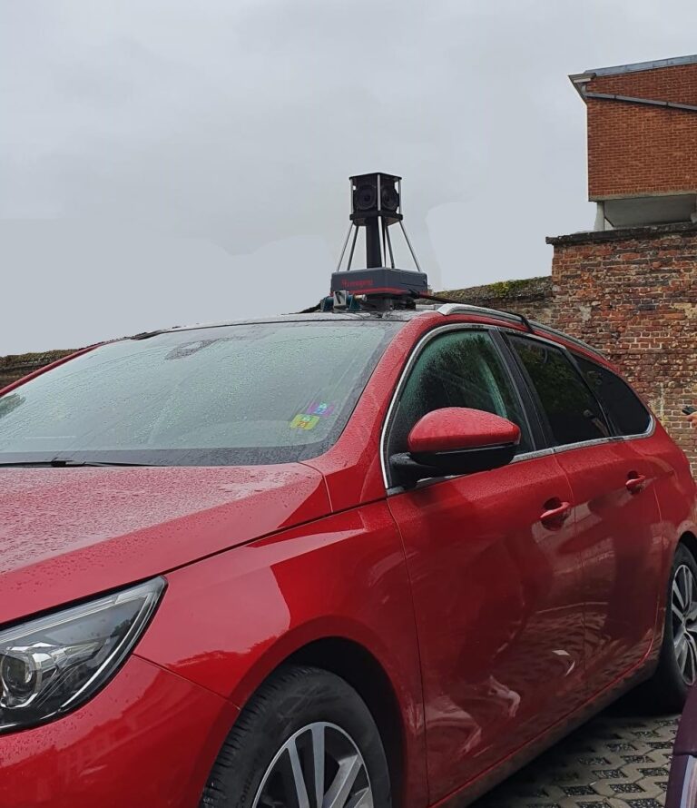
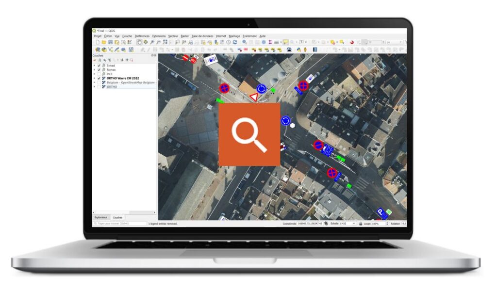
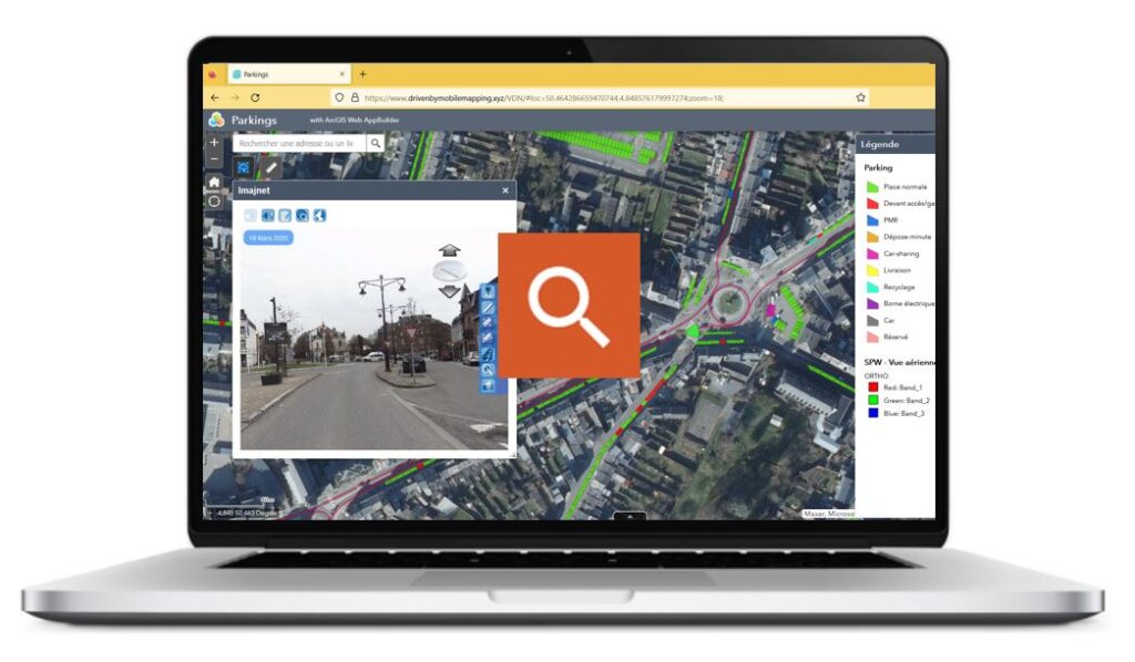
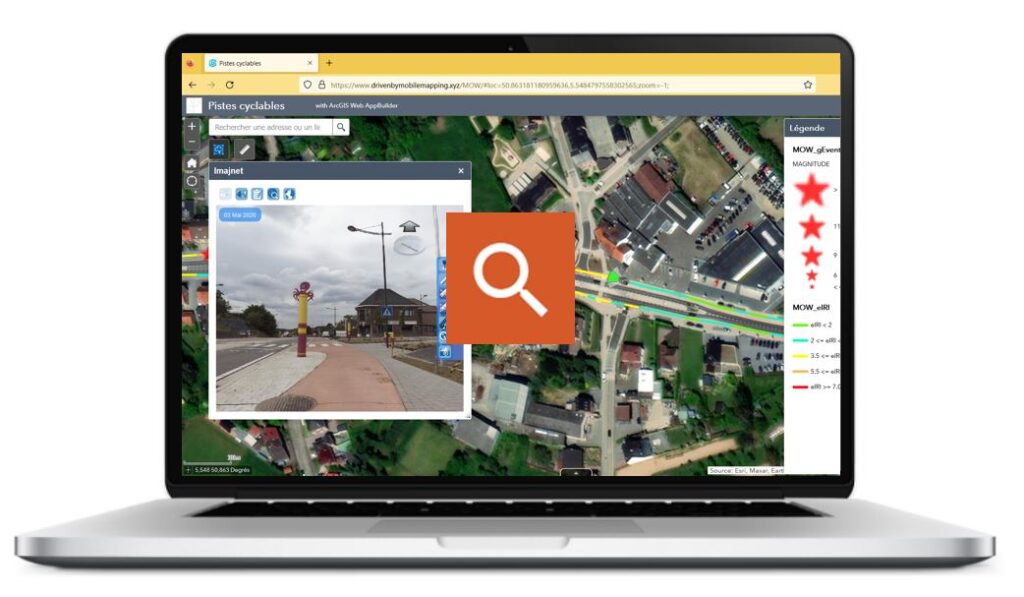
Mobile Mapping is a high-performance surveying technology that combines image capture with precise positioning and spatial orientation. Photogrammetry techniques then use this information to take measurements or position objects visible in the images in absolute coordinates.

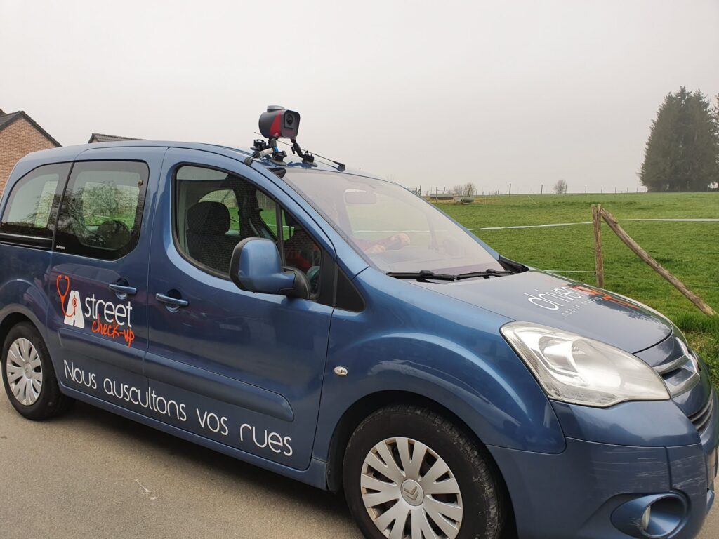
Reseller in Belgium, Luxembourg and Rwanda
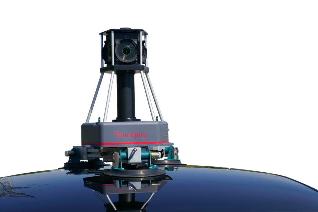
As the exclusive distributor of the imajing® system, DrivenBy offers you a unique solution :
- Fast, flexible and precise survey in any environment
- GIS database production and updating
- Sharing results
From field surveys using imajbox®, to the production and updating of GIS themes using imajview®, to the sharing of information and imagery using imajnet®, the imajing® tool chain enables the referencing, visualization, management and qualification of all transport infrastructure-related themes.
A wide range of applications
All kind of network
